
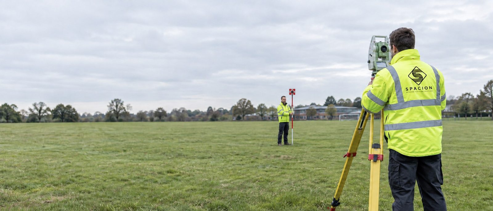
Topographical Surveys
Accurate land and site data for planning, design and construction, captured using the right survey method for the site and delivered ready for your project team.
Accurate site information, clearly structured.
Outputs are agreed around the project brief, required accuracy and downstream use.
Not sure what you need? Talk to our survey team →- 01Topographical survey drawings2D and 3D site information for planning and design.
- 02Levels, contours and site featuresIncluding roads, boundaries, structures, vegetation and visible drainage.
- 03Survey control and coordinate dataEstablished where required for the wider project.
- 04Project-ready digital outputsDWG, DXF and PDF.
The right tools for the right end goal.
The method is selected around site scale, required accuracy, access and how the data will be used. Where needed, topographical surveying is coordinated with drone, point cloud and measured building capture as one survey approach.
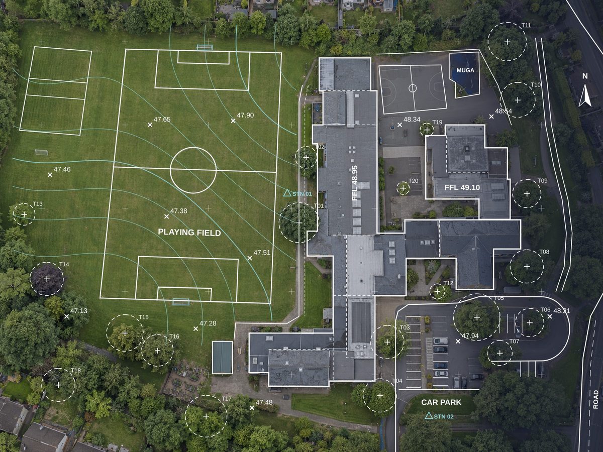
- 01Method matched to site scale
- 02Accuracy set by the project brief
- 03Access and site constraints considered
- 04Coordinated with drone, point cloud and measured building capture
For projects across the AEC sector.
Planning and development
Site data for planning, design development and early project decisions.
Civil and structural design
Accurate levels and site context for engineering design and coordination.
Drainage and highways
Topographical information for drainage layouts, roads and external works.
Residential and commercial schemes
Survey support for new development, redevelopment and occupied sites.
Landscape and public realm
Ground levels, boundaries and features for landscape and external design.
Earthworks and as-built records
Survey information for constructed site conditions and completed works.
Often delivered alongside.
Discuss your topographical survey requirements.
Tell us about the site, required outputs and how the data will be used. We will recommend the survey approach and deliverables.