
Point Cloud Surveys
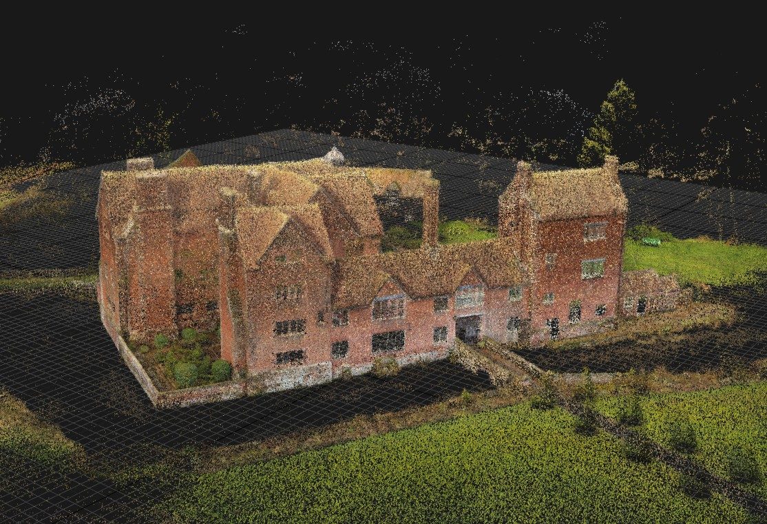
High-density 3D laser scan data for buildings, structures and complex environments, captured to project-specific accuracy and delivered as a clean, registered point cloud ready for CAD, BIM and survey workflows.
Clean, registered point cloud data ready for your project.
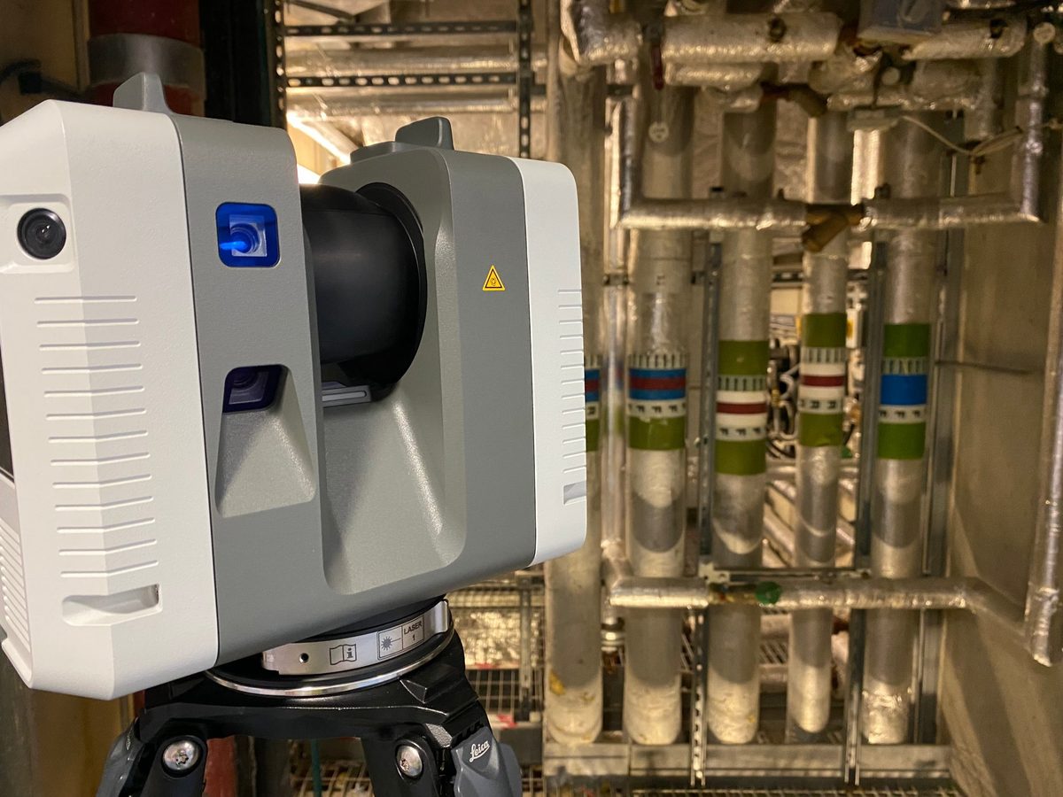
We capture visible geometry, register individual scan positions into one coordinated dataset and issue the point cloud in the format and coordinate system your project team requires.
Not sure what your project needs? Talk to our survey team →- 01Registered and cleaned point cloud surveys
- 02Georeferenced to real-world coordinates where required
- 03Internal and external LiDAR capture
- 04Survey control established where required
- 05E57, RCP, LAS, LAZ or project-specific formats
- 06Combined drone and terrestrial point cloud data where required
One spatial dataset. Multiple project uses.
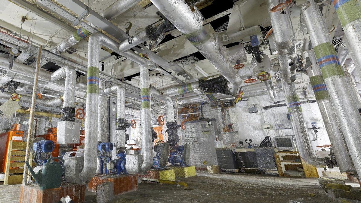
A point cloud is a measurable 3D record of the visible asset at the time of survey. The same dataset can support measured drawings, BIM modelling, area measurement, design coordination and construction verification, reducing repeat capture for information already recorded.
We regularly capture existing buildings, historic fabric, plant rooms, MEPH installations, structural frames, complex façades, risers and industrial environments, from a single room to an entire estate.
Capture is only part of the process.
Registration, cleaning, coordination and delivery determine how useful the dataset is to the project team. Everything is processed and quality-checked in-house.
- 01Registered into one dataset
- 02Cleaned of erroneous data
- 03Georeferenced to project coordinates
- 04Structured for CAD and BIM
- 05Delivered in the formats you need
- 06Terrestrial and drone data combined
- 07Quality-checked in-house
- 08Retained as a reusable record
Often delivered alongside.
Capture the right data before deciding what comes next.
Tell us what needs to be captured, how the data will be used and any accuracy, control or coordinate requirements. We will recommend the capture method, format and any downstream outputs before mobilisation.