
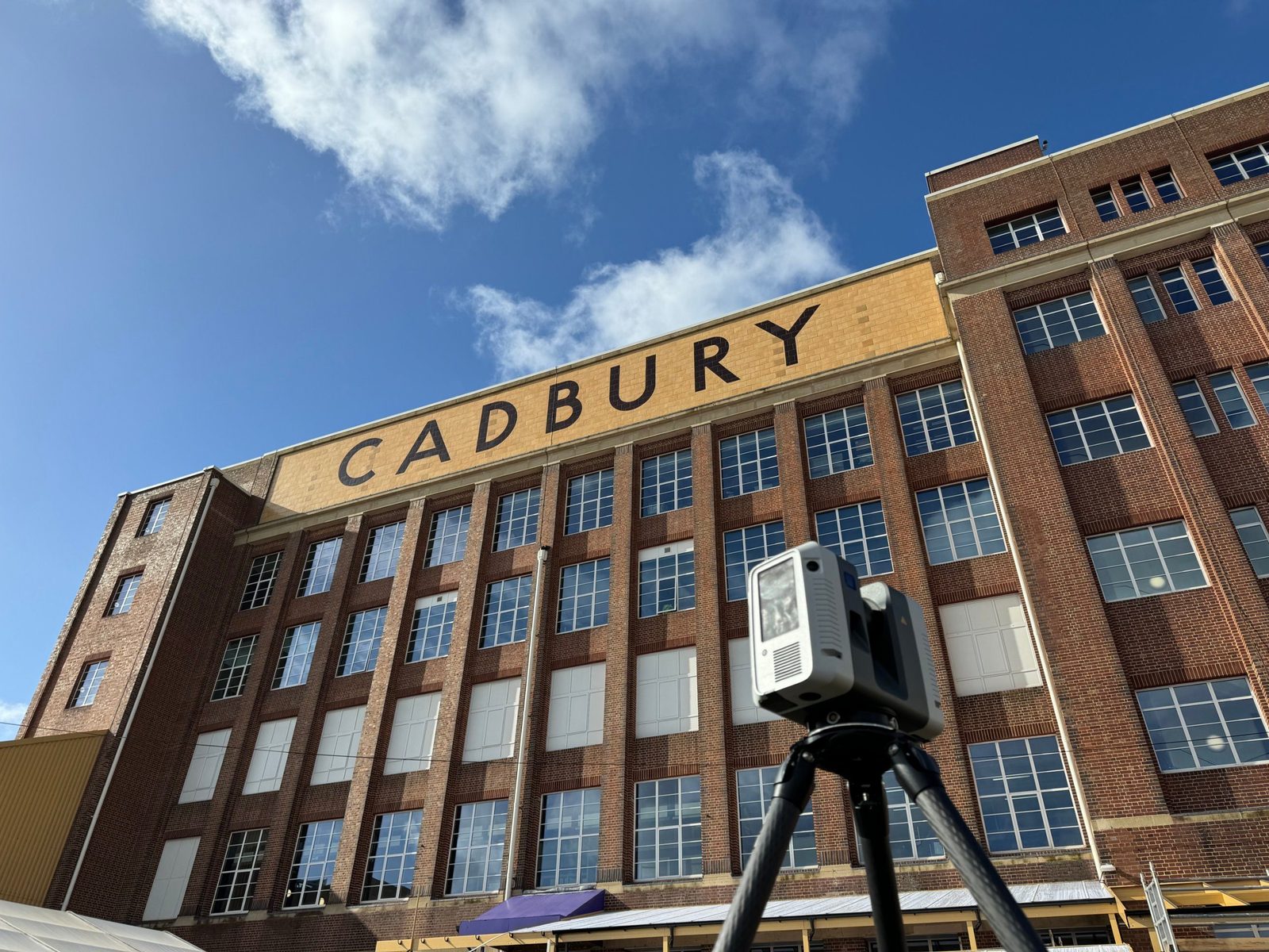
Measured Building Surveys
Accurate existing-building data for design, planning, refurbishment and asset management, captured using laser scanning and delivered in the format your project team needs.
Accurate as-built building data ready for your project.
Outputs are agreed upfront around the decisions your project team needs to make, from measured drawings to point clouds and detailed BIM models.
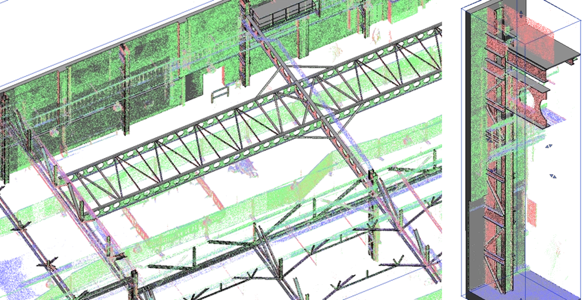
Not sure what output you need? Talk to our survey team →- 01Registered, georeferenced and cleaned point cloud surveys
- 023D Revit modelling
- 033D Tekla modelling
- 043D ArchiCAD modelling
- 052D AutoCAD plans, sections, elevations and RCPs
- 06Heritage deformation drawings and detailed façade outputs
A reliable foundation for design.
A measured building survey should capture the right level of information for the decisions being made, in a format that fits directly into the project workflow.
We process and quality-check survey data in-house, producing coordinated outputs from one dataset, so designers, engineers and contractors are not relying on incomplete or outdated historic information.
The right accuracy, detail and output for the job.
Accuracy and scope are agreed project by project. We own and operate professional Leica survey equipment, and our survey and BIM consultants shape the survey around the downstream workflow.
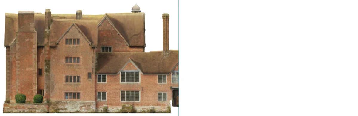 Survey imageryMeasured elevation
- 01Leica total stations and scanners
- 02Project-specific accuracy and detail
- 03Internal and external laser scanning
- 04Survey control where required
- 05Drone capture for roofs and façades
- 06In-house processing and QA
- 07ISO 19650-aligned BIM delivery
Scoped to what the project team actually needs.
Planning and refurbishment
Accurate floor plans, sections and elevations.
Retrofit, coordination and asset projects
Registered point cloud, detailed MEPH capture and a Revit model to an agreed LOD from 100 to 500.
Heritage projects
Detailed façade elevations, record drawings and spatial outputs for conservation, repair and archive.
Often delivered alongside.
Start with the data your design team actually needs.
Tell us what needs to be surveyed, what the information will be used for and which outputs your team requires. We will advise on accuracy, level of detail and format before mobilisation.