
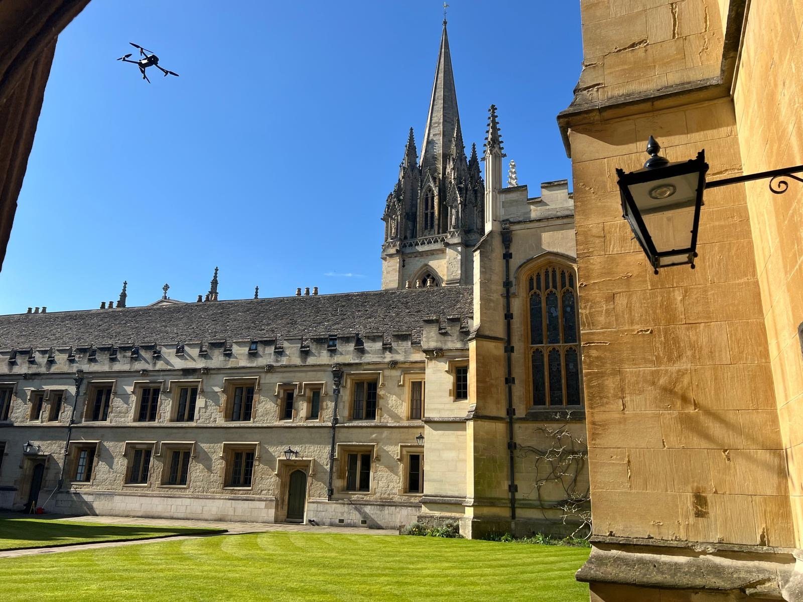
Drone Surveys
Accurate aerial data for buildings, construction sites and infrastructure, capturing areas that are difficult, unsafe or inefficient to survey from the ground. Delivered nationwide, with all data processed in-house.
One aerial survey. Multiple useful outputs.
From mapping and inspection to BIM capture and construction monitoring, we provide aerial data your team can use directly in design, coordination and asset workflows.
Talk to our survey team about how drone technology can be applied to your project →- 01Aerial mapping and topographic surveys
- 02Building and asset inspection
- 03Point cloud and 3D modelling
- 04Aerial capture for BIM and digital twin projects
- 05Construction progress flights
- 06Thermal imaging
- 07High-resolution photography and video
Built around the site, not the equipment.
Each flight is planned around the site, access constraints, airspace and the level of information the project needs. Data is processed and quality-checked in-house before delivery.
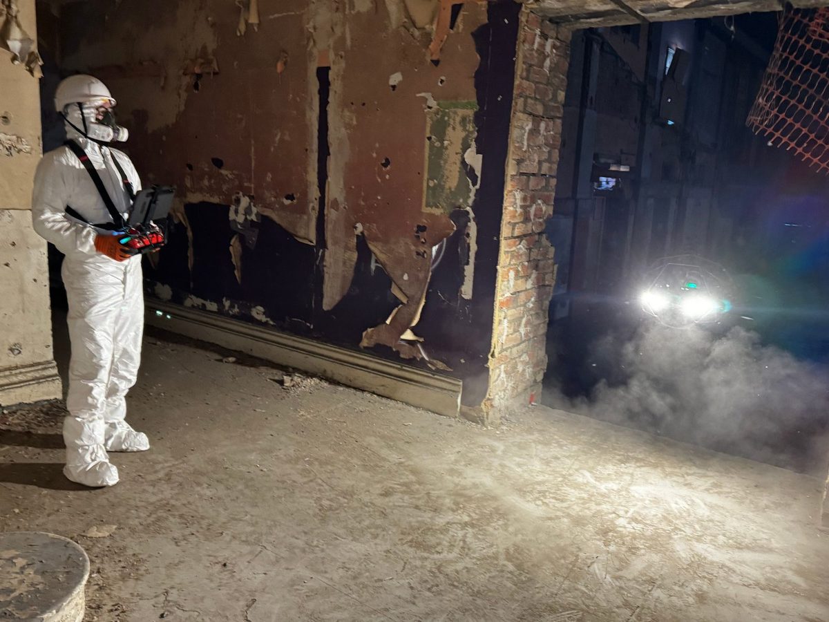
- 01Complex and live construction environments
- 02Capture available 7 days a week
- 03Outputs tailored to the project
- 04CAA-approved pilots
- 05Nationwide coverage
- 06In-house BIM specialists for complex outputs
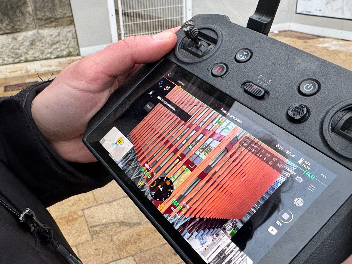
From simple capture to complex survey data.
Not every project needs a complex output. For condition surveys, access reviews and visual records, a high-resolution image set may be all that is required.
Where more detail is needed, aerial capture can be processed into point clouds, 3D models and orthomosaics, or combined with terrestrial laser scanning for Scan-to-BIM and digital twin workflows.
Often delivered alongside.
Discuss your drone survey requirements.
Tell us about the site, access constraints and required outputs. We will advise on the most appropriate survey approach.