
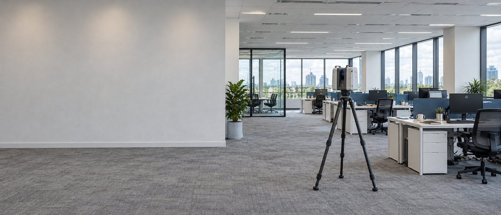
Scan-to-2D
Accurate 2D AutoCAD drawings created from laser scan data, giving architects, engineers and project teams a reliable as-built base for design, planning and refurbishment.
Accurate 2D drawings from laser scan data.
Drawings are agreed upfront around the project brief, required accuracy and the information your design team needs.
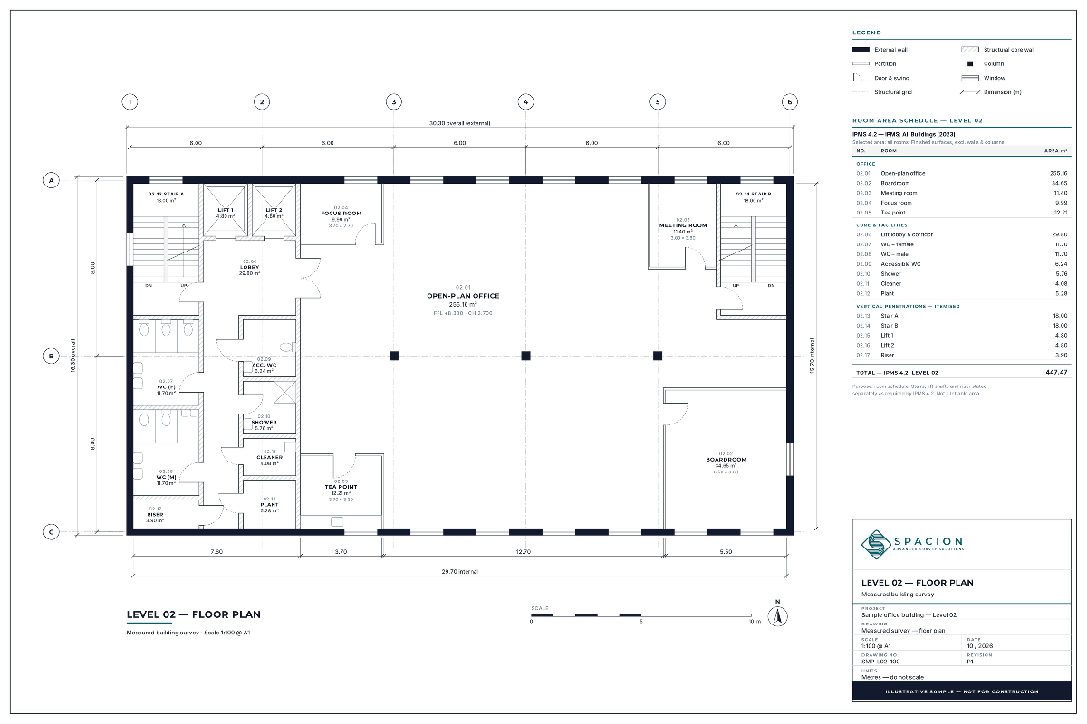
Not sure which drawings you need? Talk to our survey team →- 01Floor plansCoordinated 2D AutoCAD drawings across the required building levels.
- 02Sections and cross-sectionsExisting-building geometry through agreed locations.
- 03Internal and external elevationsSurvey-based elevations of façades and agreed internal areas.
- 04Reflected ceiling and roof plansCeiling layouts, overhead features and roof geometry where required.
- 05DWG and PDF outputsReady for architectural, engineering and project workflows.
Keeping it simple.
Not every project needs a BIM model. Where the design team only needs dependable 2D information, Scan-to-2D provides an accurate drawing base without the scope of full 3D modelling.
- 012D-only scope avoids unnecessary modelling
- 02Coordinated plans, sections and elevations from one dataset
- 03CAD-ready drawings for immediate use
- 04Measured site data, not historic assumptions
- 05Detail tailored to planning, design or refurbishment
- 06Simple DWG and PDF handover
2D existing-building information for design and planning.
Refurbishment and retrofit
Existing-condition drawings for design development and coordination.
Planning and listed building applications
Accurate plans, elevations and sections for submissions and heritage work.
Commercial fit-out
Floor plans and RCPs for architectural, landlord and MEPH coordination.
Extensions and alterations
Existing geometry for coordination between new and retained construction.
Change of use
Measured plans and sections for feasibility, space planning and design.
Fire stopping records
2D drawings recording fire stopping locations for coordination, remediation and documentation.
Often delivered alongside.
Discuss your Scan-to-2D requirements.
Tell us which drawings your project needs, how they will be used and the level of detail required. We will recommend the survey scope and deliverables.