

3D laser scanning & point cloud surveys
The foundation of accurate, reliable spatial data. Spacion's laser scanning service captures the precise geometry of any building, structure or environment - delivering point cloud data that underpins everything from measured building surveys and scan-to-BIM to model validation and digital twins.
LOCATION
NA
PROJECT TYPE
NA

What our laser scanning captures
Our scanning capability covers the full range of built environment applications:
-
Building fabric and structure — walls, floors, ceilings, columns, beams and structural elements captured in full geometric detail
-
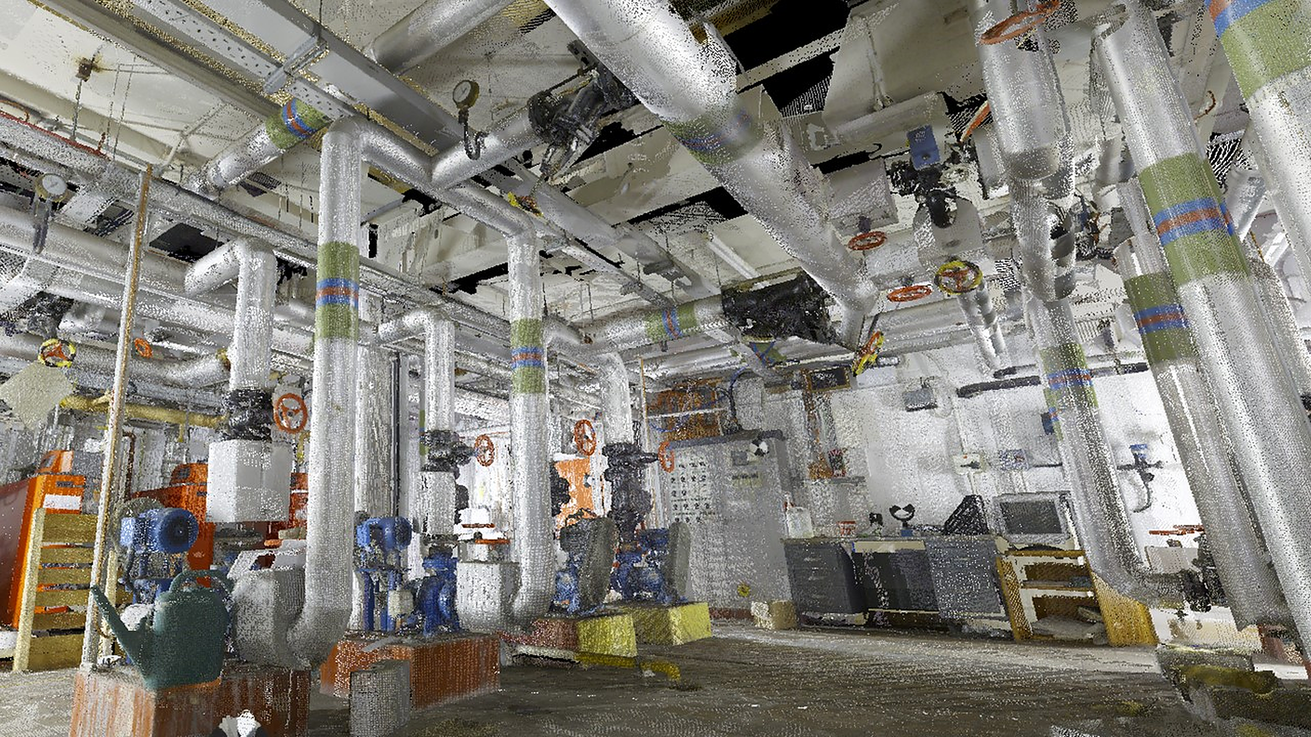
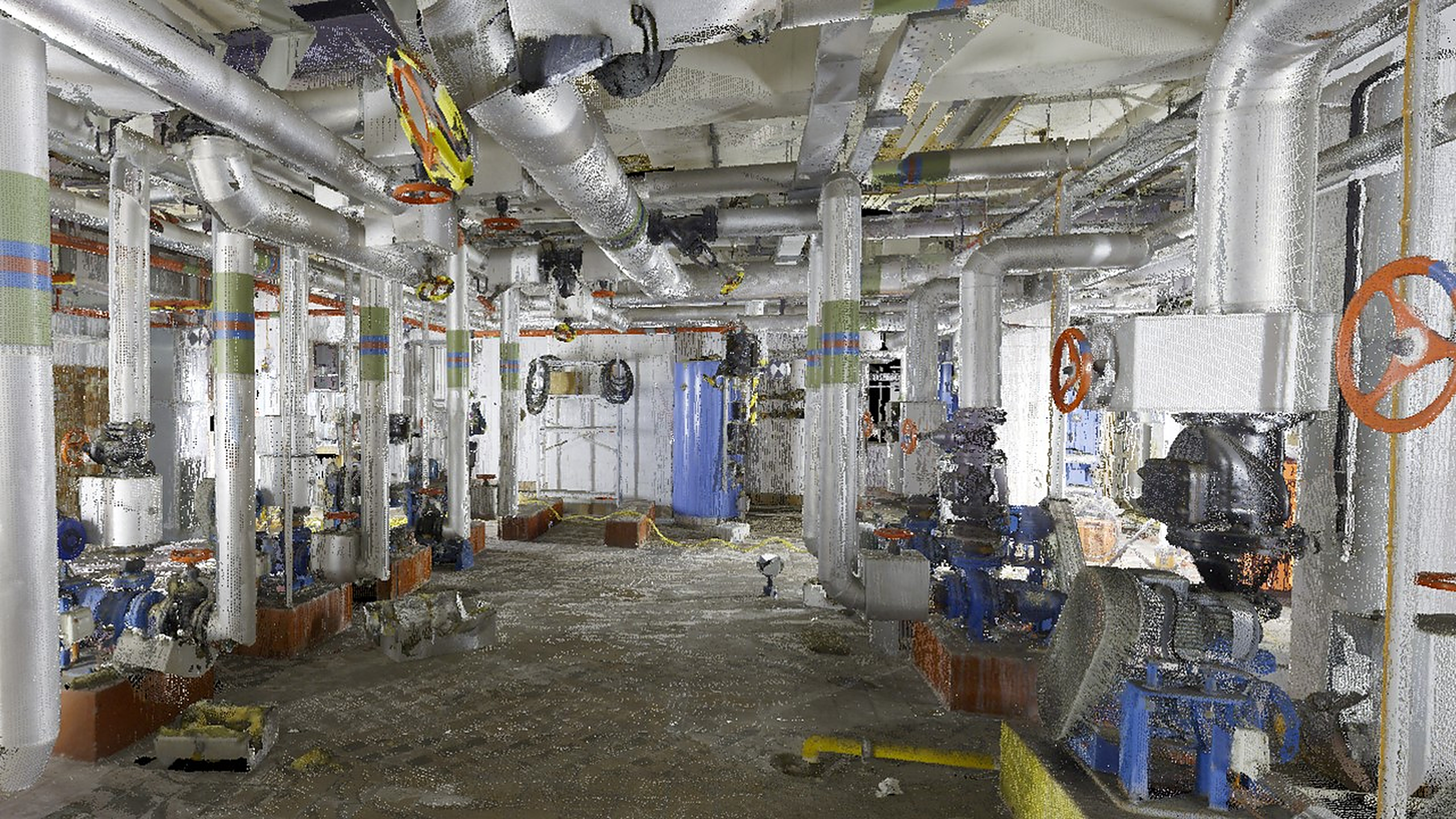
Building services and MEP — mechanical, electrical and plumbing systems recorded for clash detection, retrofit planning and as-built verification
-
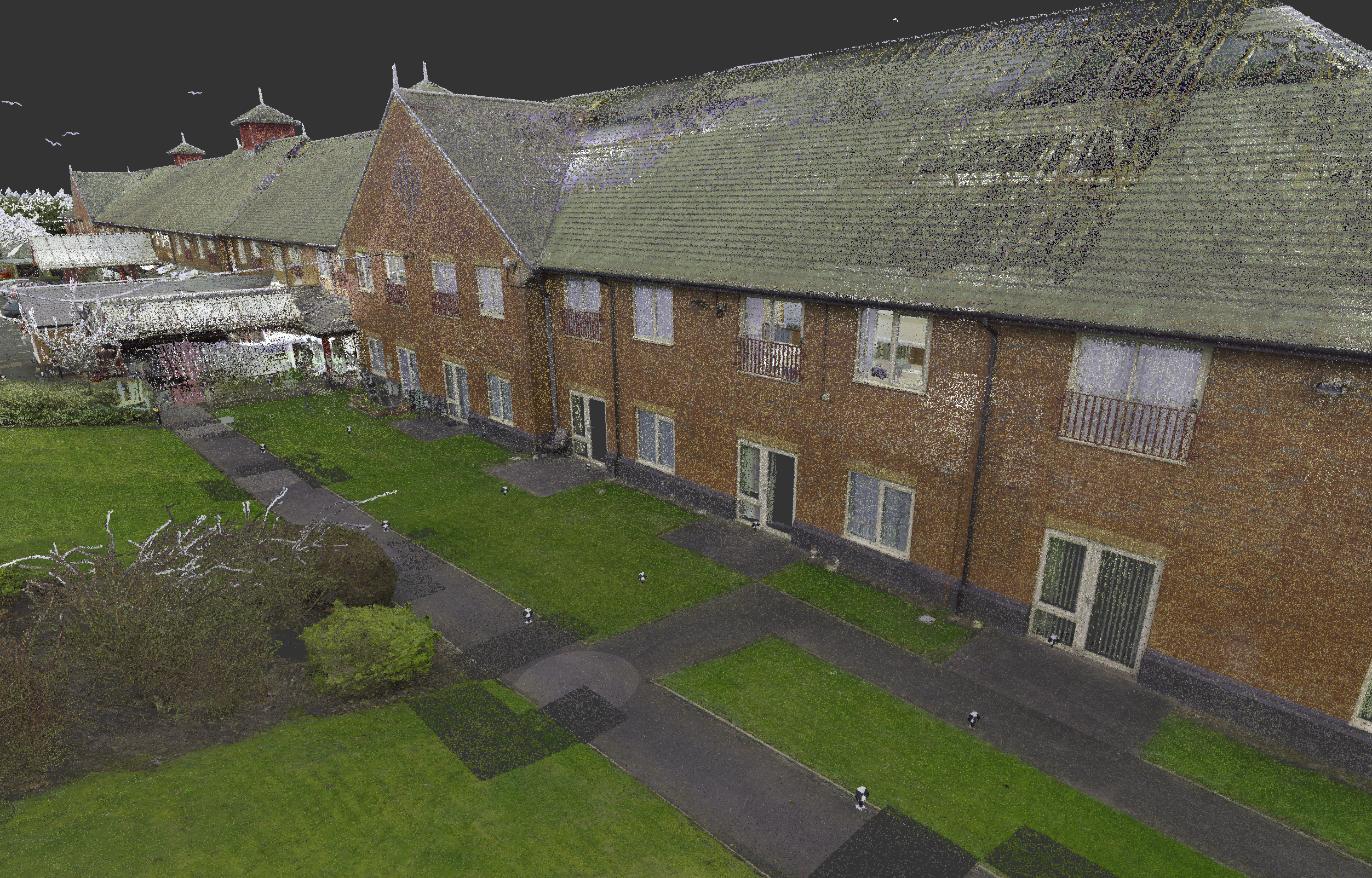
Facades and external elevations — full external capture for planning, heritage recording and condition assessment, combined with drone survey data where required
-
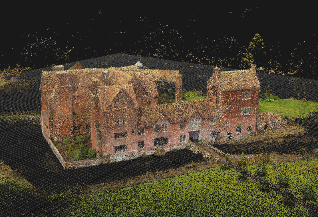
Complex and heritage buildings — intricate geometries, vaulted spaces and irregular structures that traditional survey methods struggle to record accurately
-
Large-scale industrial and infrastructure assets — plant rooms, process facilities, bridges and civil structures captured efficiently at scale
-
Confined and restricted-access spaces — risers, voids, plant rooms and other areas where access is limited but spatial data is critical
Common Applications
Our laser scanning service supports a wide range of project types across property, construction and infrastructure:
-
Refurbishment and retrofit — accurate as-built data as the design foundation, eliminating survey uncertainty before construction begins
-
Scan-to-BIM — converting scan data into LOD-compliant Revit models for design coordination, clash detection and digital handover
-
Heritage recording — comprehensive spatial documentation of listed and historic buildings for conservation, planning and archival purposes
-
Construction verification — comparing scan data against design models at key programme milestones to confirm tolerances and identify deviations
-
Facilities management — providing building owners and managers with an accurate spatial baseline for maintenance, space planning and future works
-
Digital twin creation — point cloud capture as the first step in creating a connected, data-rich digital replica of an asset
Discuss your laser scanning requirements
Every project is different — and the right scanning approach depends on your building, your programme and what you need from the data. Our team will advise on the most effective methodology and deliver an accurate, competitive quote. Get in touch to tell us about your project.
The foundation of accurate, reliable spatial data. Spacion's laser scanning service captures the precise geometry of any building, structure or environment — delivering point cloud data that underpins everything from measured building surveys and scan-to-BIM to model validation and digital twins.
Precise, comprehensive data capture — in a fraction of the time
3D laser scanning captures millions of highly accurate data points across a building or site, creating a dense point cloud that records every visible surface, structural element and spatial relationship in three dimensions. Compared to traditional survey methods, it is faster on site, more comprehensive in coverage, and significantly more accurate — particularly in complex or geometrically challenging environments.
At Spacion, we select scanning technology based on your project's specific requirements and desired outputs. Using the latest Leica scanning equipment, our surveyors capture your asset inside and out from multiple positions, then post-process, clean and register the data in-house — adding verified site coordinates and producing a fully usable, structured point cloud dataset ready for downstream use.
The result is a single, authoritative spatial record of your asset — one that every member of your project team can access, interrogate and rely on, from early design through to handover and beyond.
Scale of delivery
-
Images captured
-
2,823 Fixed capture locations
-
2-week Capture cycle


Delivery
Point cloud data is the raw material — what matters is how it's structured and delivered for your specific project needs. We provide a full range of outputs from a single scan dataset:
Registered point cloud
Cleaned, registered and geo-referenced point cloud in your required format (E57, RCP, PTS and others) — ready for import into any CAD or BIM environment
Measured Building Surveys
Accurate floor plans, sections and elevations extracted from the point cloud — in DWG or PDF format to suit your workflow
Scan-to-BIM models
Intelligent Revit models built directly from the scan data, delivered to your specified LOD and aligned with ISO 19650 requirements
3D mesh models
Photorealistic 3D mesh models for visualisation, heritage recording and stakeholder engagement
Model validation
Point cloud overlaid against existing design or BIM models to identify discrepancies, verify construction progress and validate as-built conditions