

DRONE SURVEYS & AERIAL INSPECTION
High-accuracy aerial data capture for construction, property and infrastructure reaching the locations ground-based surveys cannot, faster and more safely than traditional methods.
LOCATION
Nationwide
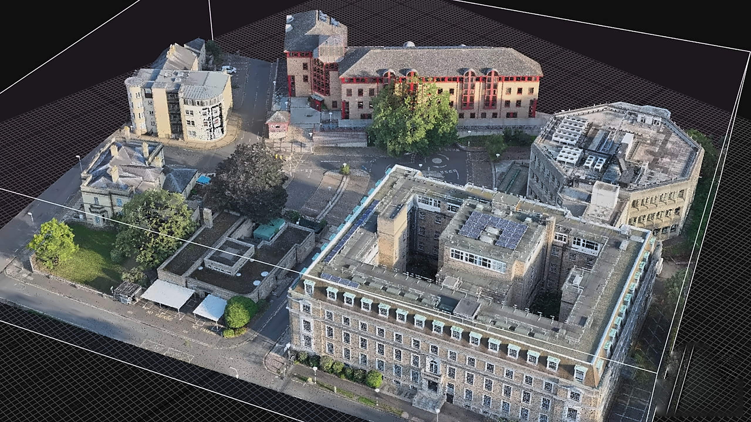
Spacion's CAA-certified drone pilots operate across the UK, capturing survey-grade aerial data and high-resolution imagery for a wide range of property, construction and infrastructure applications. Our drone surveys go beyond aerial photography delivering structured, usable geospatial data that integrates directly into your existing BIM, point cloud and design workflows.
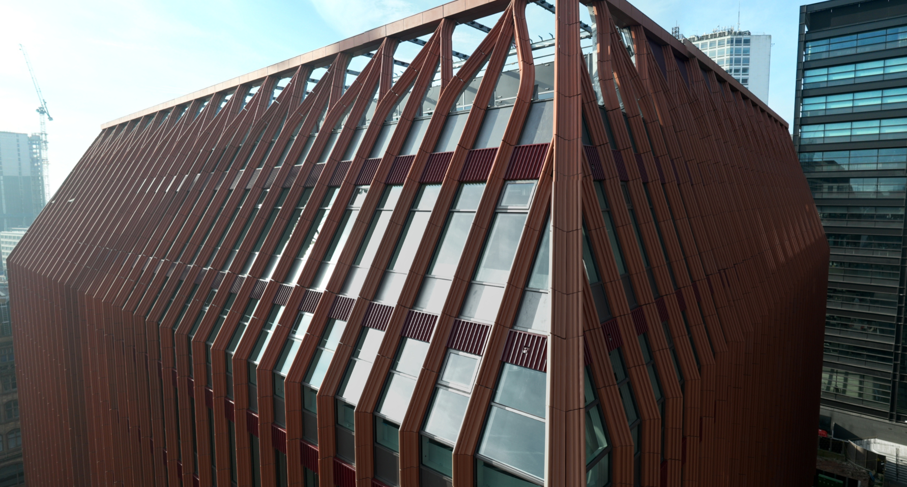
Whether you need an external point cloud of a high-rise building for a scan-to-BIM project, a topographic survey of a large development site, a condition inspection of an inaccessible roof or a detailed orthomosaic for planning, our UAV capability provides the data you need — quickly, safely and with minimal disruption to site operations.
All drone survey data is quality-checked and processed in-house, delivered in formats that suit your project — from point clouds and 3D mesh models to orthomosaics, CAD drawings and high-resolution imagery sets.
WHAT WE DELIVER
• Aerial mapping & topographic surveys
• Building & asset inspection
• Point cloud & 3D modelling
• Aerial capture for BIM, scan-to-BIM, and digital twin projects
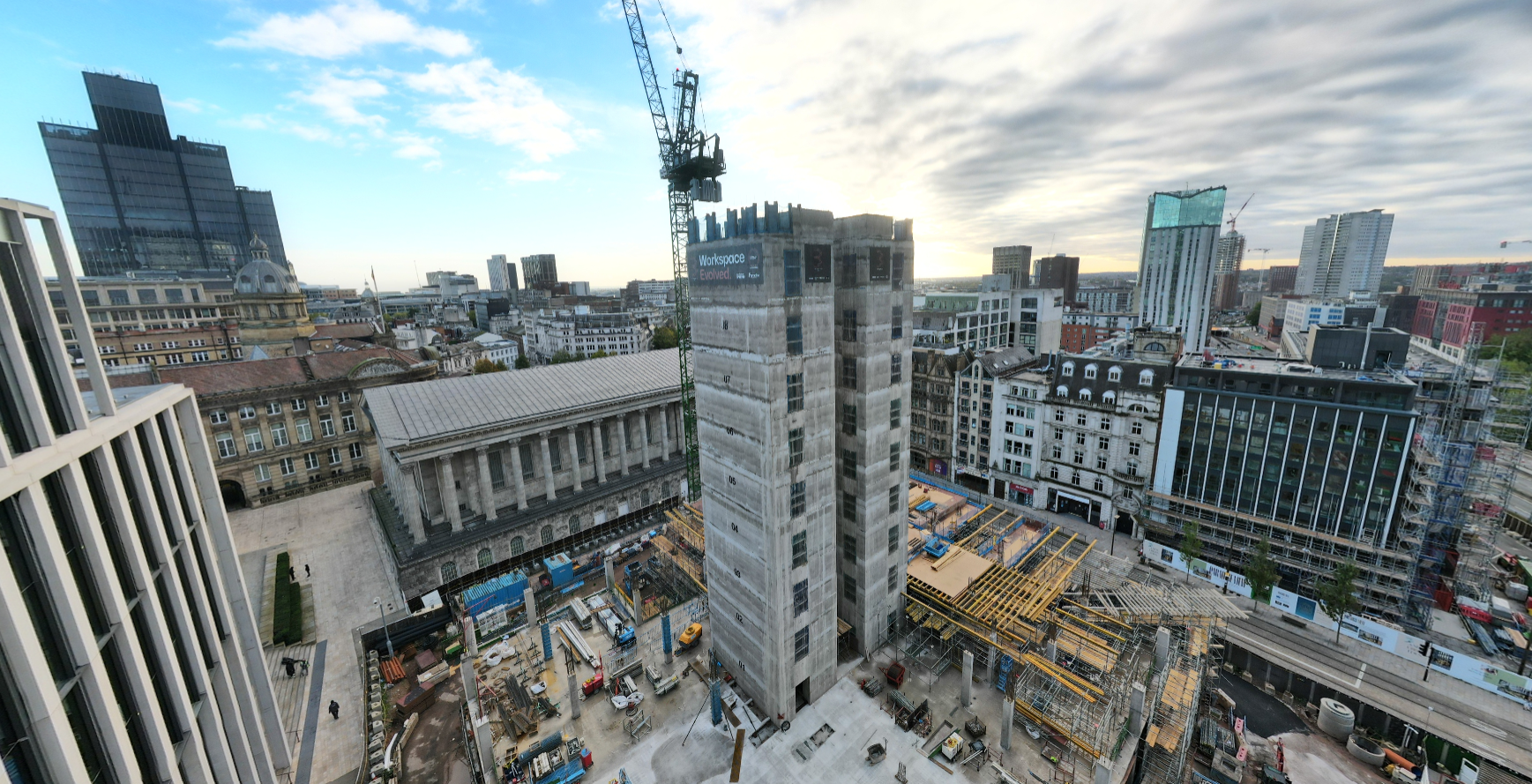
• Construction progress flights
• Thermal imaging
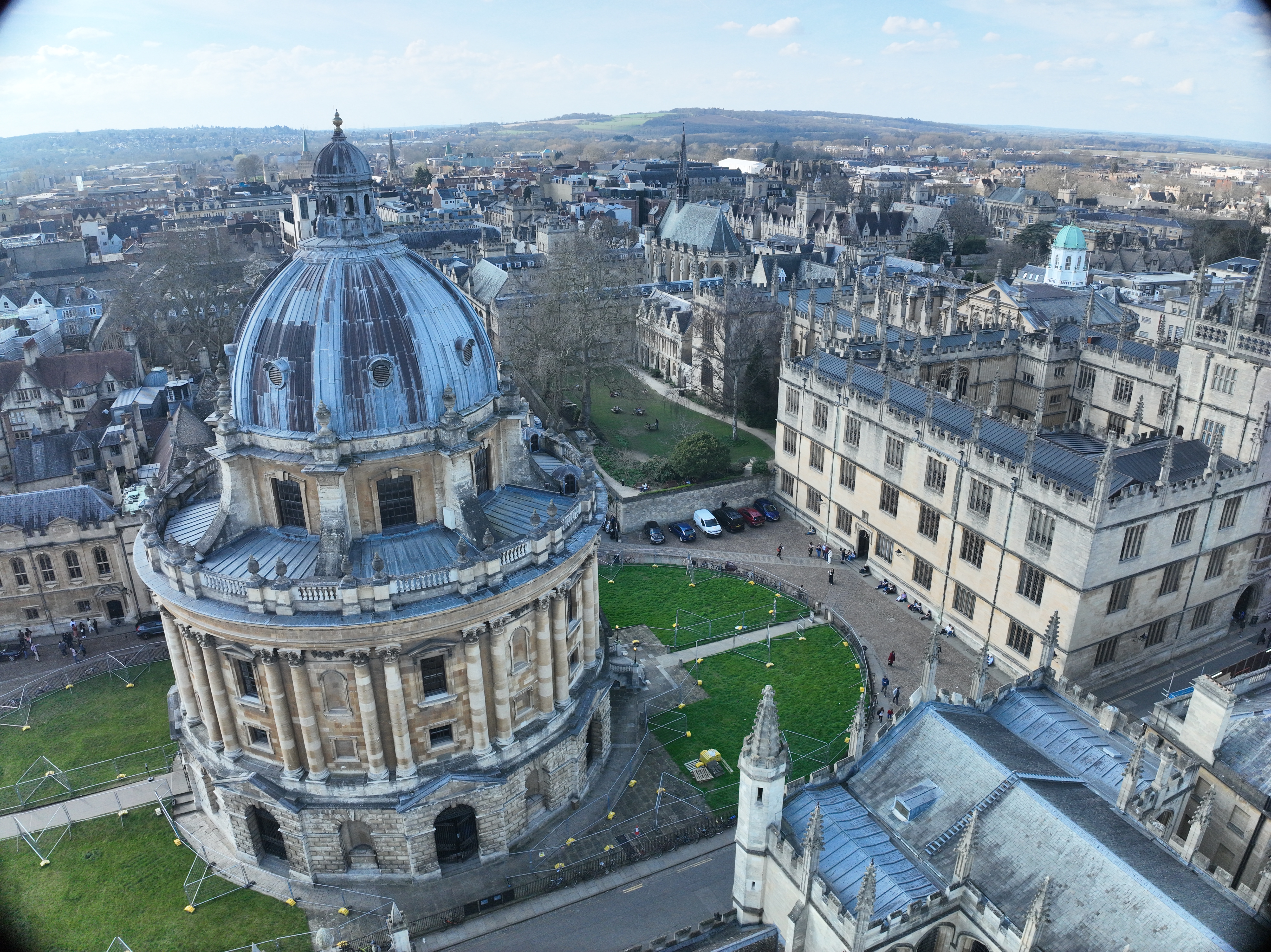
• High-resolution photography & video



CAA-CERTIFIED, OPERATING ACROSS THE UK
All Spacion drone operations are conducted by CAA-certified pilots operating under full regulatory compliance. Our team is experienced in working across complex and congested environments including urban sites, live construction zones and restricted airspace with the appropriate permissions and operating procedures in place for each project.
We operate 7 days a week across the whole of the UK, and our in-house processing team ensures that data is quality-checked and delivered to you quickly whether that's a same-day inspection report or a fully registered point cloud ready for BIM integration.

PROGRESS MONITORING: THE BENEFITS
-
Close-range inspection of structures that are difficult or dangerous to access
-
Programmed repeat flights for site monitoring and record-keeping
-
Rapid, high-resolution site mapping for large or complex sites
-
Infrared surveys to identify building defects invisible to the naked eye
-
Professional aerial imagery for marketing, planning and stakeholder engagement
PART OF A COMPLETE SURVEY SOLUTION
Drone surveys work best when integrated with our wider reality capture capability. Our UAV data is routinely combined with terrestrial laser scanning to deliver complete external and internal point clouds for scan-to-BIM projects — giving design teams a single, comprehensive dataset of the entire asset, inside and out. Similarly, aerial thermal surveys and condition inspections can be combined with measured building surveys and digital twin creation to support lifecycle asset management programmes.
As a multi-technology reality capture specialist, Spacion can scope and deliver the right combination of survey methods for your project — rather than applying a one-size-fits-all approach.
Discuss your drone survey requirements
Tell us about your site, your access challenges and what you need from the data — and we'll recommend the most effective approach. Our team is happy to advise at any stage, from early feasibility through to live project delivery.