

BATTERSEA POWER STATION
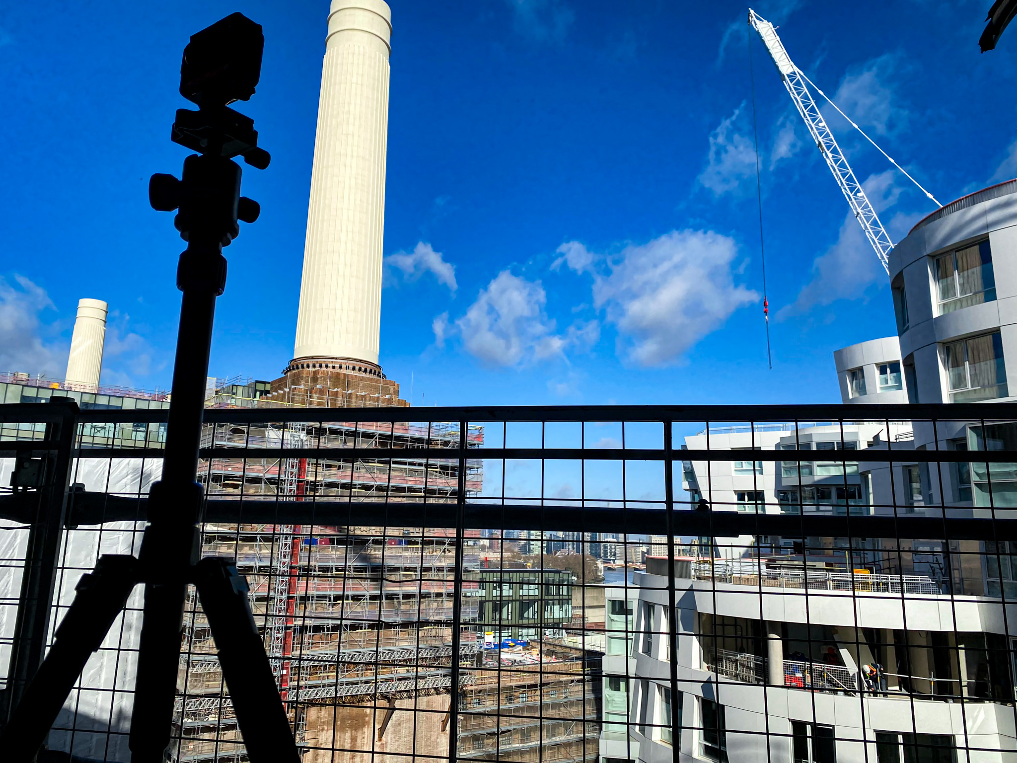
Spacion provided ongoing visual monitoring for Battersea Power Station’s Phase 3A development, creating a structured, accessible visual record that enabled stakeholders to reliably track hundreds of spaces throughout a fast-paced construction programme.
LOCATION
London
PROJECT TYPE
Progress Monitoring
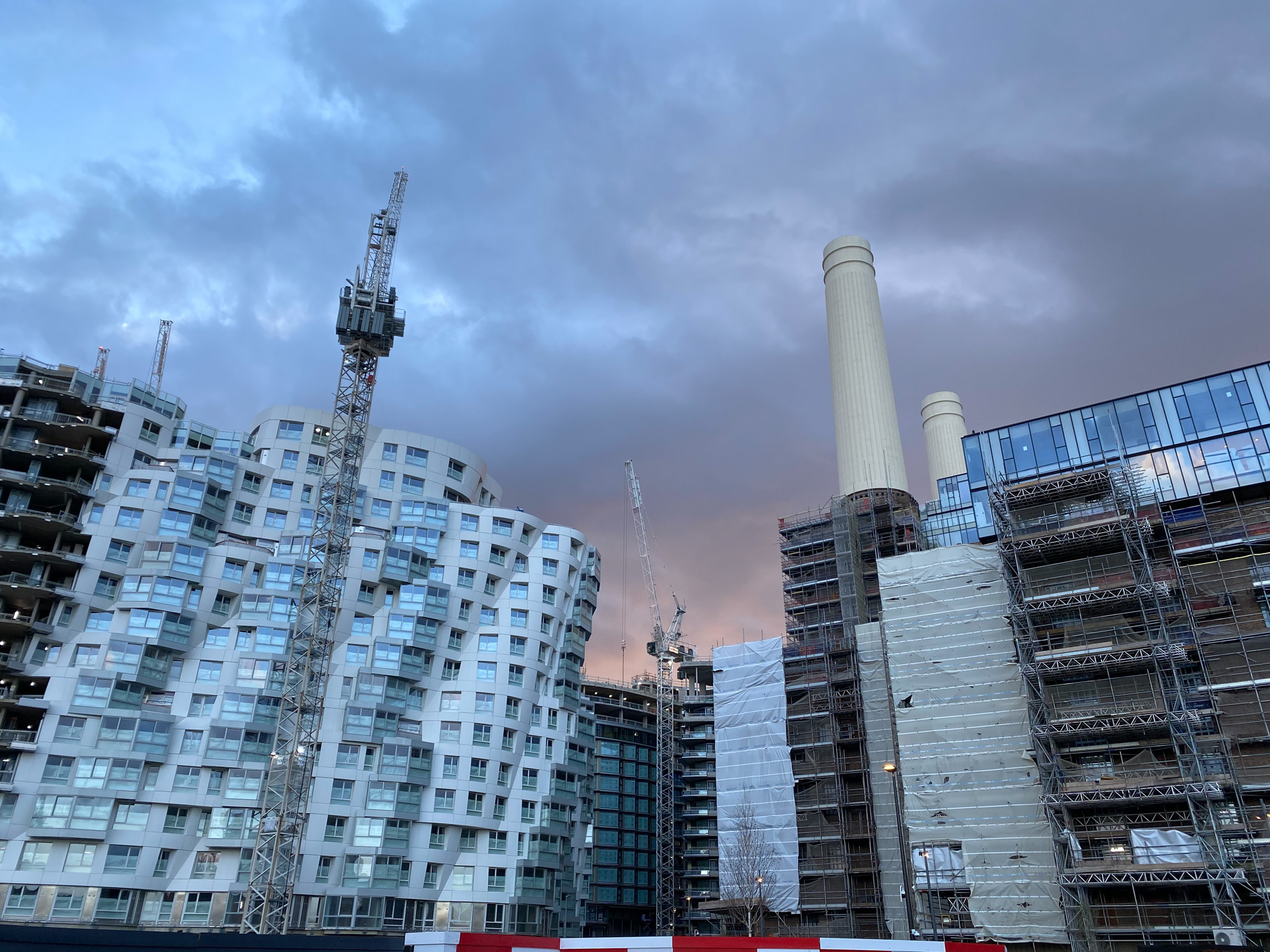
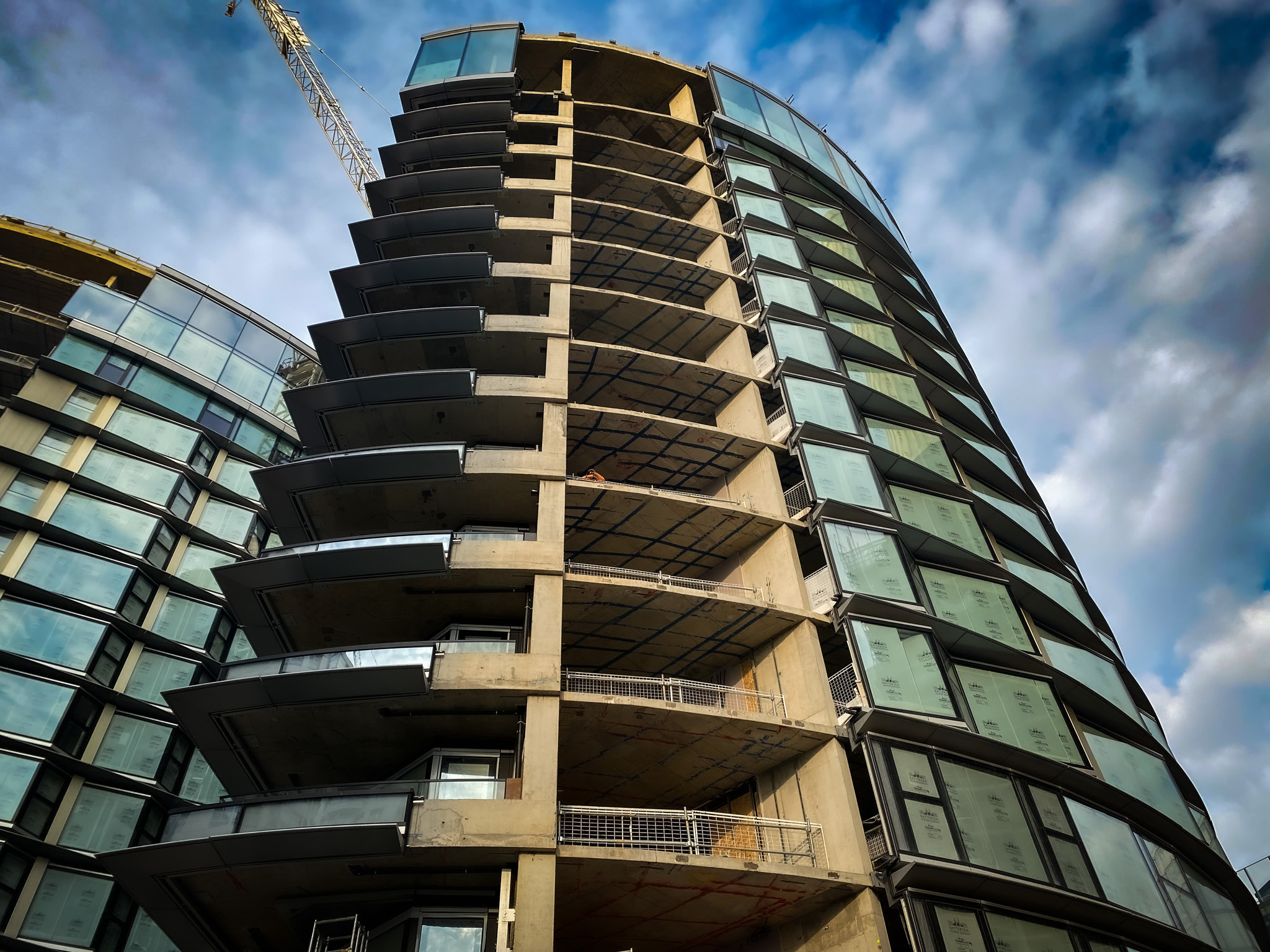
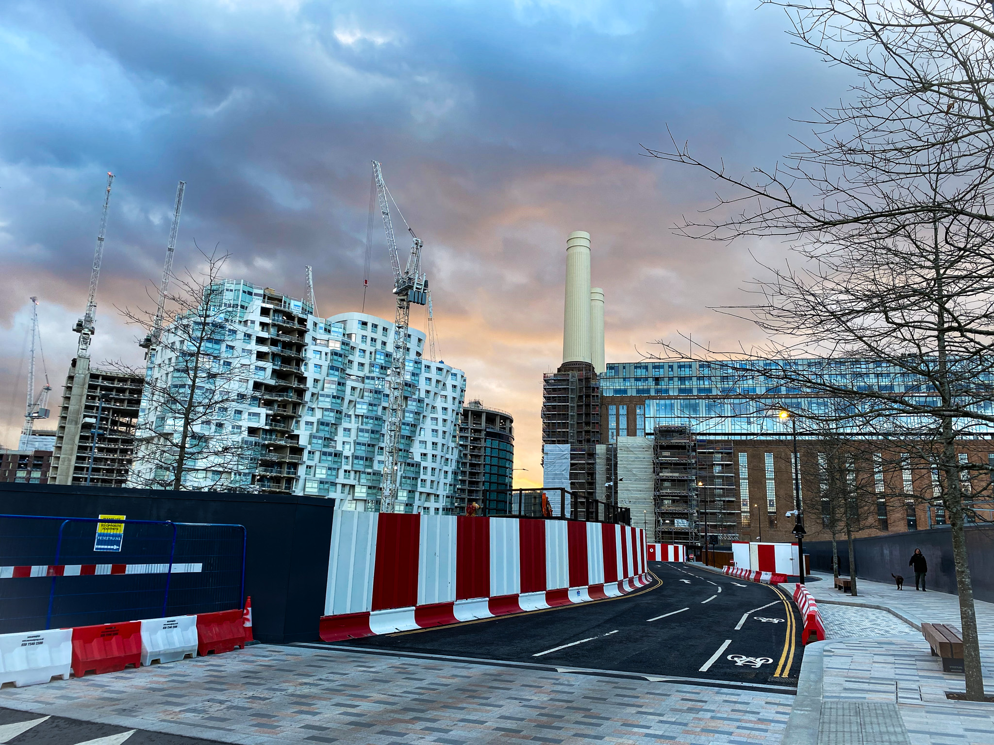
Our team was appointed to provide ongoing visual monitoring throughout Phase 3A of the Battersea Power Station development — a large-scale, high-density residential and mixed-use scheme delivered by a major construction organisation.
The scale and pace of the development presented significant challenges in maintaining a comprehensive and accessible visual record. With hundreds of individual spaces progressing concurrently, a demanding construction programme and a diverse range of stakeholders — including site management, design and commercial teams — there was a clear need for accurate, consistent and timely access to site information.
Traditional methods of site photography were not sufficiently effective at this scale. Manual recording was often inconsistent, difficult to navigate and lacked the structure required to make meaningful comparisons of progress over time.
Spacion was therefore appointed to establish a structured, repeatable and fully accessible visual monitoring solution, providing a comprehensive digital record of the development throughout its construction.
Scale of delivery
-
Images captured
-
2,823 Fixed capture locations
-
2-week Capture cycle





Delivery
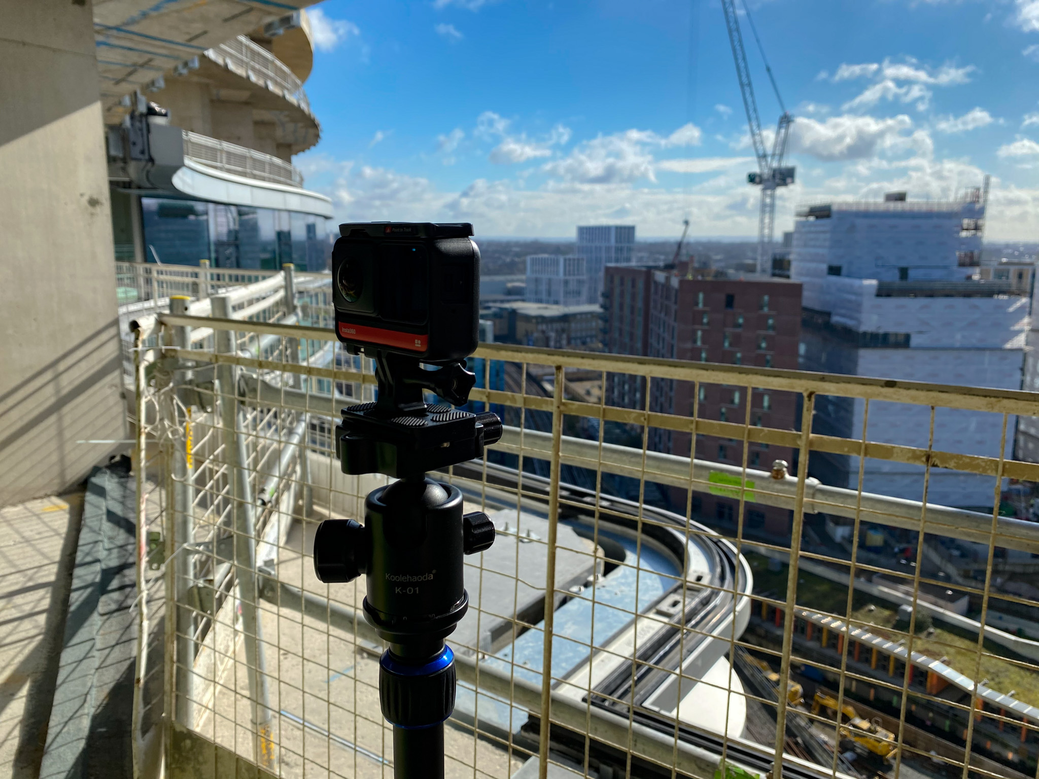
The Spacion team designed and implemented a structured visual capture programme across the full footprint of the Phase 3A development. Each room within every apartment was assigned a fixed capture point, ensuring comprehensive and consistent coverage at every visit. Captures were undertaken on a two-week cycle throughout the active construction period, creating a continuous visual timeline of the entire development and enabling progress to be tracked consistently over time.
360° imaging was selected to provide a complete visual representation of each space within a single capture. By recording walls, ceilings, floors, junctions and service routes simultaneously, the approach eliminated the need for multiple camera positions while providing a detailed record that required no specialist interpretation.
The resulting imagery could be accessed and interrogated by multiple teams and disciplines, allowing site managers, designers, commercial teams and trades to draw relevant information from the same source. This provided a consistent, shared view of site conditions and progress throughout the construction programme.

Technical approach
Fixed-point capture
Each of the 2,823 locations was precisely defined and revisited on every cycle, ensuring images from different dates align perfectly for comparison and progress tracking.
Interactive site maps
All images were published to a browser-based platform with linked floor plans, allowing any stakeholder to navigate to a specific location and view its full capture history.
Date comparison tools
Side-by-side date comparison at any fixed point enabled the site team to quickly identify what had changed, what had stalled, and what required attention.
-
Measurement & reporting
-
Built-in measurement and annotation tools allowed teams to take dimensions, flag issues, and generate reports directly from the imagery — no site visit required.
Platform & Access
Our team was appointed to provide ongoing visual monitoring throughout Phase 3A of the Battersea Power Station development; a large-scale, high-density residential and mixed-use scheme delivered by a major construction organisation.
The scale and pace of the development presented significant challenges in maintaining a comprehensive and accessible visual record. With hundreds of individual spaces progressing concurrently, a demanding construction programme and a diverse range of stakeholders - including site management, design and commercial teams — there was a clear need for accurate, consistent and timely access to site information.
Traditional methods of site photography were not sufficiently effective at this scale. Manual recording was often inconsistent, difficult to navigate and lacked the structure required to make meaningful comparisons of progress over time.
Spacion was therefore appointed to establish a structured, repeatable and fully accessible visual monitoring solution, providing a comprehensive digital record of the development throughout its construction.