

MEASURED BUILDING SURVEYS
Highly accurate, laser scan-based measured surveys of existing buildings - delivering verified floor plans, sections, elevations and 3D models in the format your
project team needs. The reliable spatial foundation for design, planning, refurbishment and asset management.
Every refurbishment, extension, change-of-use and fit-out project starts with a question: what does the building actually look like, and does it match the existing drawings? In most cases, original plans are incomplete, outdated or simply missing. A measured building survey answers that question precisely - giving architects, engineers, contractors and property professionals a verified, survey-grade record of the building as it stands today.
Spacion delivers measured building surveys using the latest 3D laser scanning technology, capturing the complete geometry of a building inside and out from a single mobilisation. Our survey team processes and quality-checks the data in-house, then our technical team extracts the drawings and models your project requires - floor plans, elevations, sections, reflected ceiling plans and 3D outputs, all delivered in the format that fits your workflow.
Getting the right data at the right stage reduces risk, removes guesswork from design development, and saves the time and cost of correcting errors later in the programme. The earlier a measured building survey is commissioned, the greater the return.
SCALE OF DELIVERY


WHAT WE DELIVER
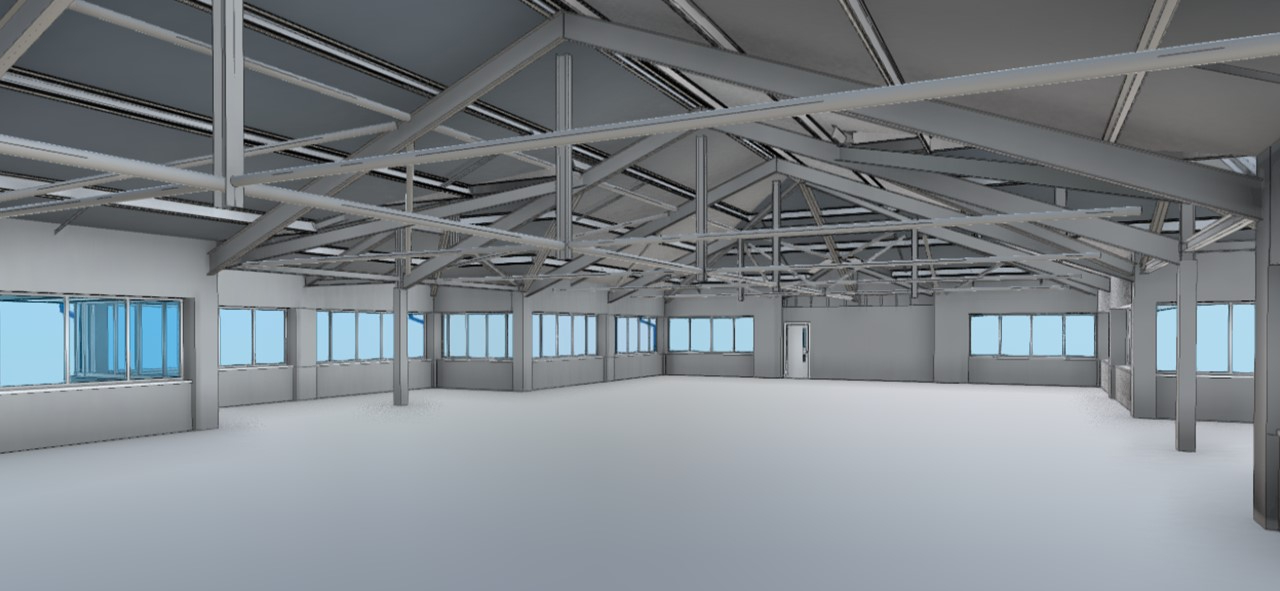
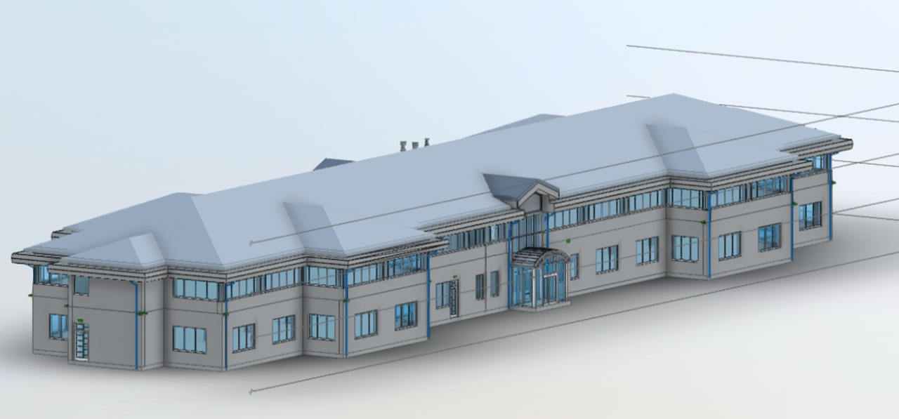
All outputs are agreed upfront and tailored to your project's requirements. We routinely deliver in 2D CAD, 3D point cloud and BIM-ready Revit formats - individually or in combination.
2D CAD drawings
Accurate, fully coordinated drawings in DWG format - ready for direct use in architectural and engineering workflows
-
Floor plans at all levels
-
External elevations
-
Sections and cross-sections
-
Reflected ceiling plans
-
Roof plans
-
Internal elevations
Registered point cloud
The complete raw dataset; geo-referenced, cleaned and registered for use in any CAD or BIM environment or web-hosted for remote access
-
E57, RCP, PTS formats
-
Web-hosted point cloud viewer
-
Measurable remotely from any browser
-
Retained as a permanent spatial record
BIM-ready Revit models
Intelligent 3D models built from scan data to your specified LOD - the direct foundation for scan-to-BIM workflows and design development
-
LOD 100 to LOD 500
-
Architectural, structural and MEP
-
ISO 19650-aligned delivery
-
IFC export available

Why Choose Spacion for Area Measurement?
A measured building survey is required whenever accurate existing-building data is needed to inform a project decision. Common triggers include:
-
Refurbishment and retrofit: accurate as-existing drawings as the design base, removing reliance on inaccurate or incomplete historic plans
-
Planning applications: accurate site and building records to support planning submissions, listed building consent and heritage documentation
-
Extension and new-build integration: precise existing-building geometry for coordination between new and existing elements
-
Change of use: floor plans, sections and area calculations to support building regulations submissions and space planning
-
Commercial fit-out: accurate floor plans and ceiling surveys for tenant fit-out design, MEP planning and landlord approval submissions
-
Pre-acquisition due diligence: independent verification of building dimensions, area and configuration before a property transaction
-
Heritage recording: comprehensive spatial documentation of listed and historic buildings for conservation, repair and archive purposes
-
Facilities and asset management: an accurate spatial record of the existing building to support maintenance planning and future works
HOW WE APPROACH EVERY SURVEY
No two buildings are the same, and no two projects need the same output. Before mobilising, we discuss your project in detail — understanding the purpose of the survey, what decisions it needs to support, which areas require the most detail, and what formats your team works in. This upfront conversation is what separates a well-scoped survey from one that creates more work downstream.
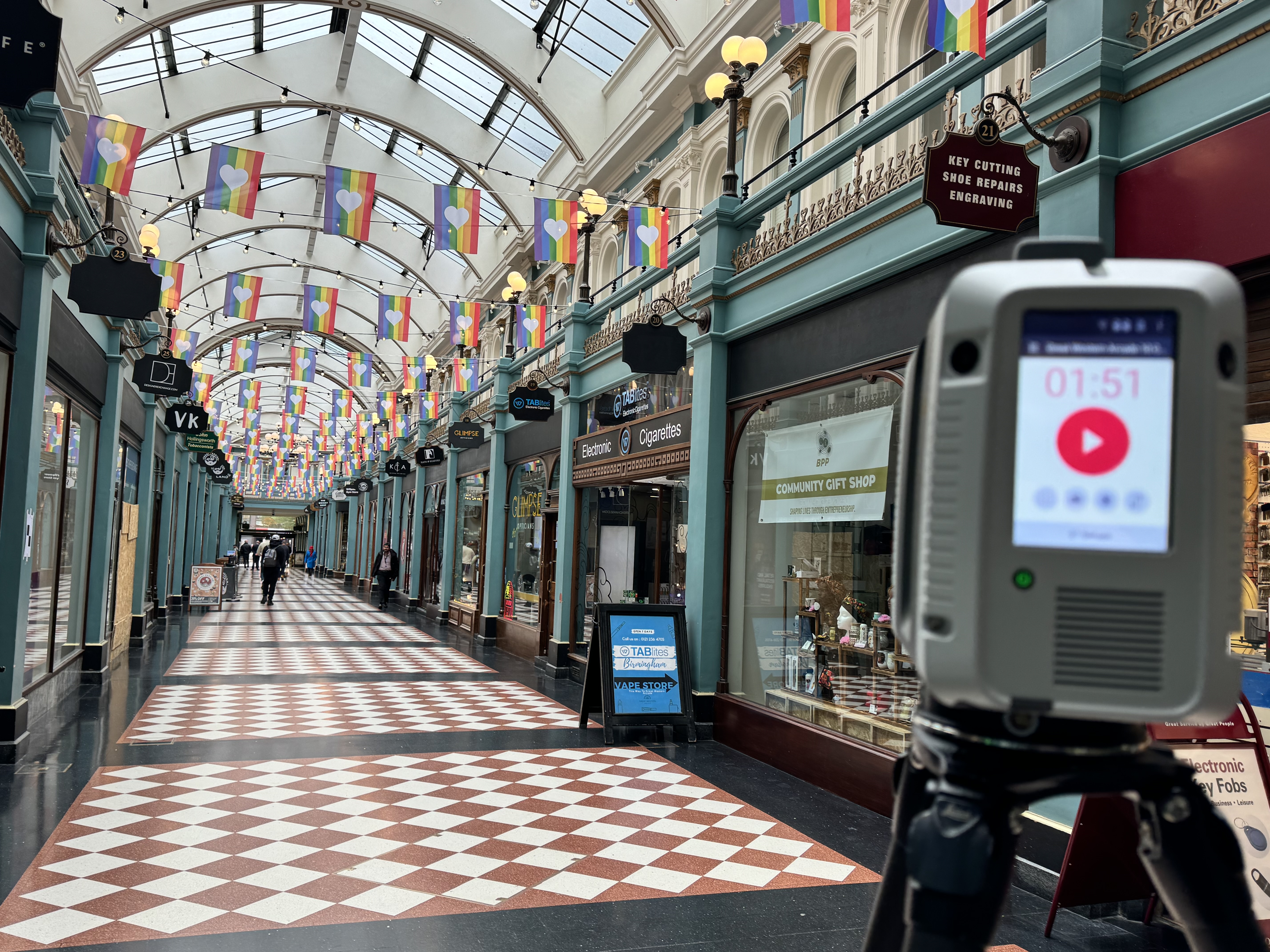
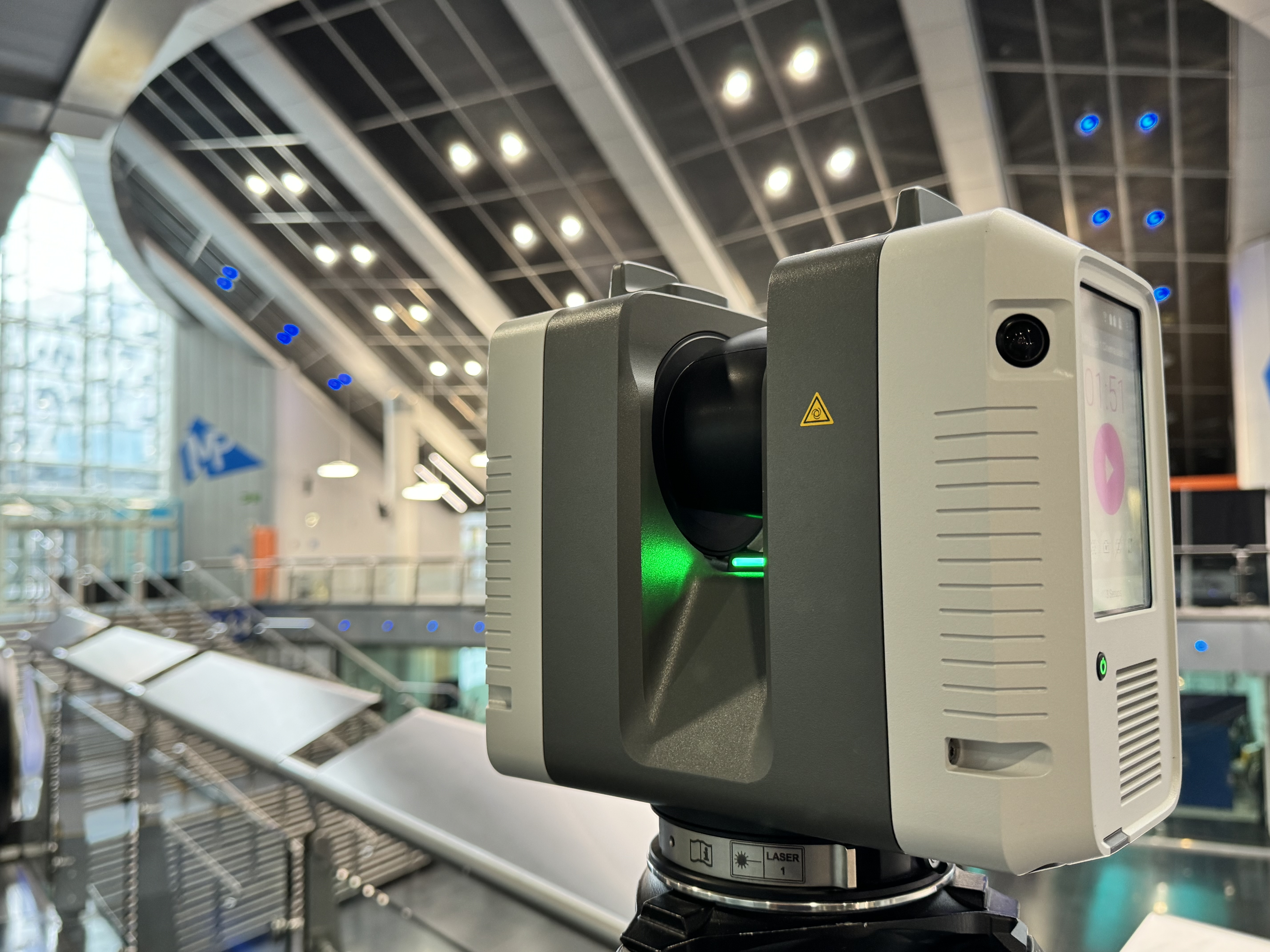
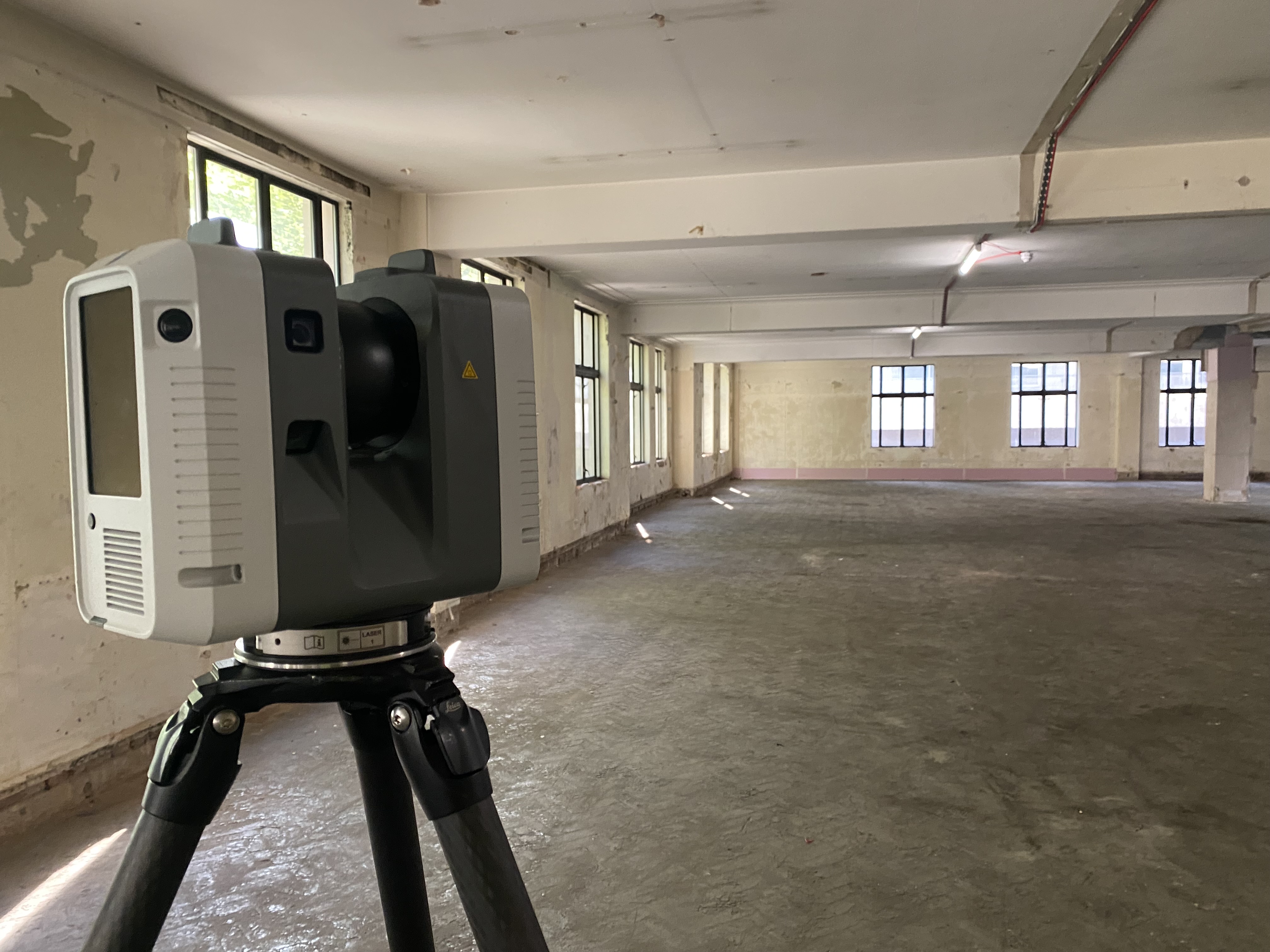
On site, our surveyors use the latest Leica scanning equipment to capture the building from multiple positions — inside and out — in a single mobilisation where possible. Drone surveys are deployed for external elevations, roofs and hard-to-access areas where necessary. All data is geo-referenced to an established survey control network, ensuring consistent accuracy across the whole building and compatibility with any wider site survey programme.
Single mobilisation
We capture everything your project requires in one visit — minimising disruption to occupants and reducing the time your building is under survey
In-house processing
Data processed, cleaned and QA-checked by our technical team — no outsourcing, no handover gaps, one accountable partner throughout
Flexible formats
Delivered in DWG, PDF, RVT, IFC, E57 or any combination — agreed upfront to match your team's software and workflow
Fast turnaround
Efficient site procedures and in-house processing mean data delivered quickly - including urgent timescales for time-sensitive projects